Indian Logistics Info

Lighthouses

India

Indian Logistics Directory
Search
Home » Sea Ports » Lighthouses
 
To List or Submit your listings related to Logistics Directory - Click Here
 

Lighthouses

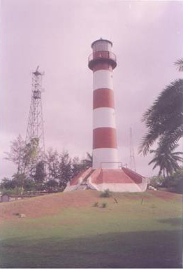
Sacramento Lighthouse
th_sacramento.jpg
In order to indicate the sand shoal situated at the entrance of Vrudha Godavari River, this Lighthouse was constructed during 1893-95 at a safe distance from the sea. The Lighthouse was named after the name of the ship “SACRAMENTO” which grounded on the nearby shoal in 1868. The station is remotely located and approachable by road from Rajahmundry (25 km via Amalapuram) and then crossing of two narrow tributaries...
 
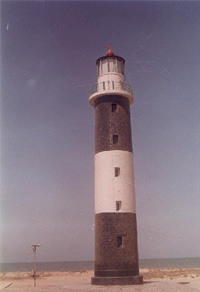
Sagar Island Lighthouse
th_sagarisland.jpg
Sagar is a large Island situated on the mouths of Ganges. Regular buses ply from Esplanade, Kolkatta to Harwoodpoint jetty for crossing the river Ganga by a passenger barge to reach Kochuberia. From Kochuberia buses ply uptoKapilmuni Ashram at the southern tip of the Island at the confluence of Ganga and the Bay of Bengal. Lighthousejunction (about 25 km from Kochuberia) falls on this route. The 3 kms approach...
 
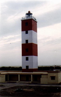
Salaya Lighthouse
th_salaya.jpg
Salaya is a minor port about 73 km south-west of Jamnagar. A mechanized boat is to be hired from Salaya Port to reach Karumbhar (Kalubhar) islet Lighthouse. The mechanized boat takes about an hour during favourable tide.Salaya is an important tidal port after Bedi, providing shelter to all types of country crafts. An MG rail link was provided to Salaya port earlier that was removed in 1980. Salaya was...
 
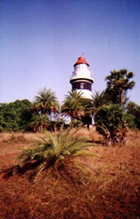
Samiyani Island (Okha Port) Lighthouse
th_okha1.jpg
Samiyani island is situated off Okha lighthouse separated by about 1.5 km wide shoal. The island provides an ideal shelter to the Okha Harbour. Samiyani can be approached without the restriction of tides by a machine boat which can be hired from Passenger jetty at Okha Port. The region of Okha and islands around came under the control of Wadher dynasty in the 14th century. They made their capital...
 
SantaPille Lighthouse
th_santapille.jpg
Santapille Lighthouse is situated about 20 km from Vizianagar Railway Station on Howrah-Chennai route. The main objective of this light is to warn about the shoal about six miles off the shore. A light used to be exhibited from a column like structure on a hillock about 2 km North-East of the present Lighthouse. The ravines of the lighthouse and attached room and Keepers dwellings can be seen there....
 
Shialbet Lighthouse
th_sawai_bet_lh1.jpg
Shialbet Lighthouse is situated on Savaibet islet separated of by a creek from its mother island of Shialbet opposite Pipavav port. Approach to Shialbet lighthouse is by a machine boat to be engaged from Pipavav port which is connected to coastal highway by a 10 km link road and by a BG rail to national rail way system.This region comprising Chanch, Shialbet, Pipavav and Rajula formed part of Bhavnagar...
 
Simar Lighthouse
th_simar_lh1.jpg
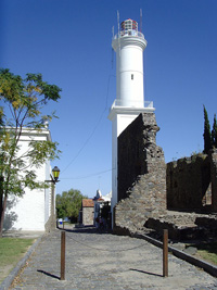
Simar village is linked to Una (Taluka Town) by a metalled road extending up to Saiyed Rajpara. Simbor fort and Pankota Islet were occupied by Portuguese and now form part of UT of Diu.While rest of the landscape is part of Una Taluka (Gujarat state).In 1901 a light on a pyramid shaped column 1.5m high inside the fort was established mainly to assist Portuguese vessels to anchor. It was...
 
Tarapur Point Lighthouse
th_tarapur_point.jpg
Tarapur Point Lighthouse Station is 15 km from Boisar Railway station on Mumbai-Surat rail section. Approach from Boisar is by road up to Ghivali village and then 1 km by walk across the shallow creek. Tarapur came into prominence during early 1960s when India’s first atomic power station was established here.The coast line in the region is shallow and a number of shoals exist close to coast In past...
 
Umargam Lighthouse
th_umergam.jpg
Umargam is about 6 Km from Umargam Road railway station on Mumbai-Surat rail section . This region was part of Thane district prior to creation of Gujarat in 1960.Umargam is situated on the southern bank of Nargol creek. It was a small village about two centuries ago, serving as a transit point for exporting marine products from the fishing port Nargol on the Northern Bank of the creek.In the...
 
Valsad Khari Lighthouse
th_valsad_khadi.jpg
The Lighthouse station is about 8 km west of Valsad town and is connected by a pucca road. The nearby village Kosamba is inhibited by fishing community.The light is provided on the South side of the entrance to Valsad Khadi. Auranga River flows into the Valsad Khadi providing a natural harbour for fishing crafts of all sizes. It was an important port till 15th century. The forest produce specially...
 
To List or Submit your listings related to Logistics Directory - Click Here
 
Facebook Twitter Instagram LinkedIn
© 2007 - IndianLogisticsInfo.com. All Rights Reserved
hit counter
Home  |  Overview  |  Advertise  |  Link to us  |  About us  |  Contact us  |  Sitemap  |  Privacy Statement